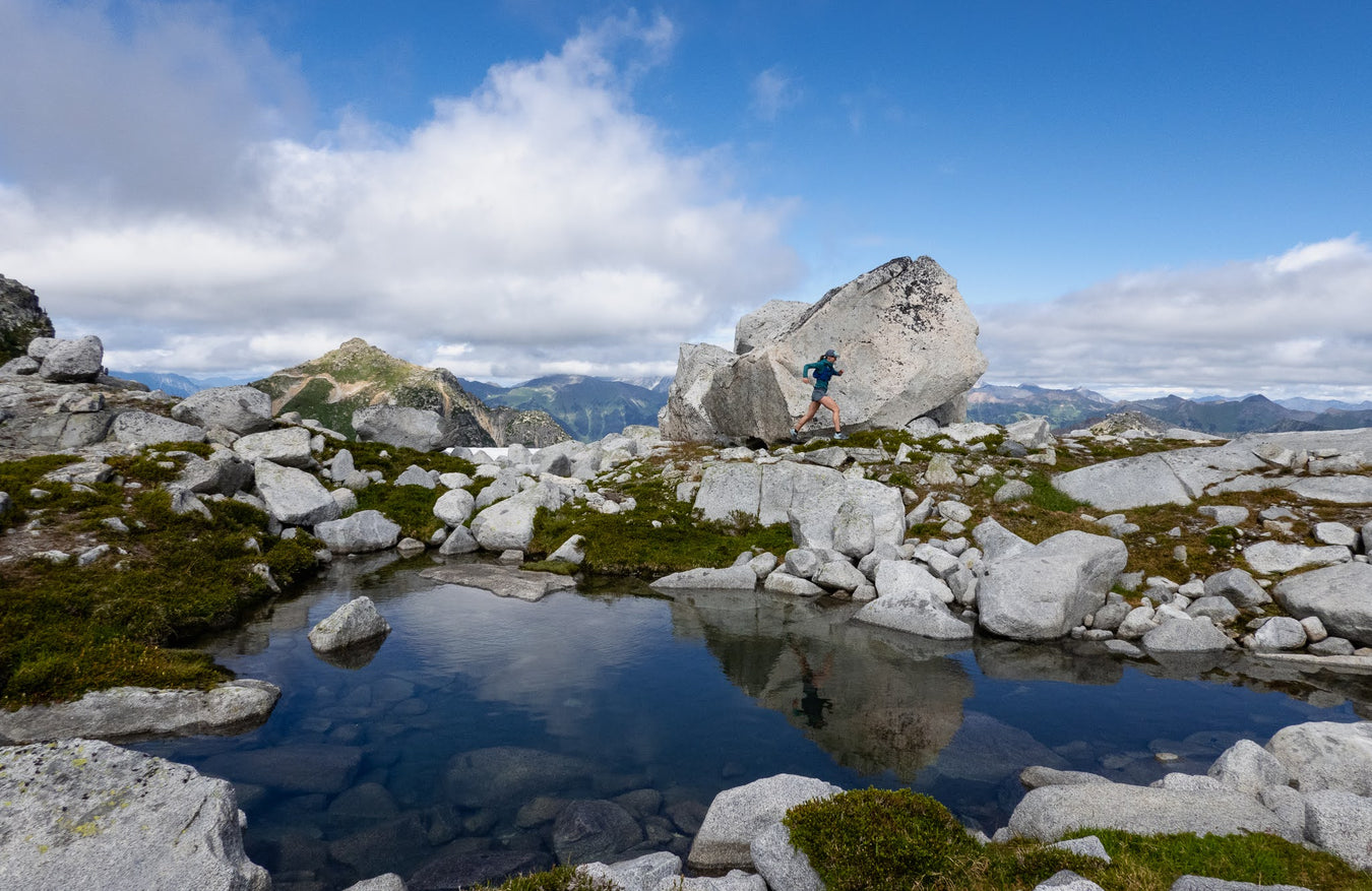
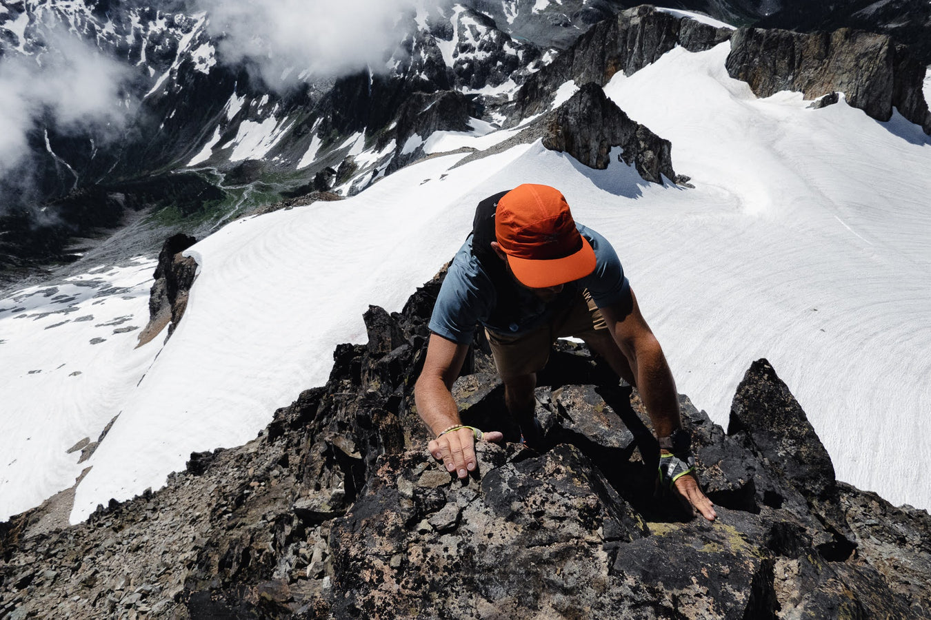
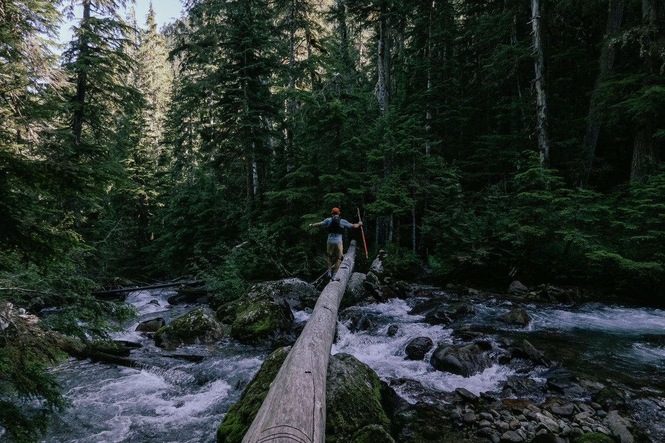
Squamish, Whistler and the Sea-To-Sky corridor offer a wide variety of world-class trail and mountain running. From lush old-growth forests to technical ridges, there's a run for you no matter your level of experience.
Here are some of the best trail runs in Squamish, Whistler and the Coast Mountains put together by our team.
Sunshine Coast and Islands
- Mount Steele (Tetrahedron Provincial Park)
- Mount Gardiner Long Run (Bowen Island)
Howe Sound Crest
- Black Mountain Loop
- Mount Harvey to Mount Brunswick Loop
- Lost Lake to Deeks Lake Loop
- Erin Moore Trail
- Howe Sound Crest Trail
Murrin Provincial Park
Stawamus Chief Provincial Park
- Stawamus Chief 1st Peak
- Stawamus Chief 3 Peaks Loop
- Squamish Skyline Loop
- Slhanay Hanging Valley Viewpoint
Shannon Basin
- Sea-To-Sky Gondola Evac Trail
- Habrich Ridge (11 to 15 km)
- Sky Pilot Basin
Crumpit Woods
Diamondhead Trails
Alice Lake Provincial Park, Brohm Lake, And Cat Lake
- Four Lakes Loop
- Jack's Trail, Credit Line
- Cheshire Cat, Section 57 Loop
- Brohm Lake Loop
- Hatchery to Brohm
Valley Trails
Across the river and Tantalus Range
Squamish Valley
Tricouni - Mount Callaghan
Pinecone Burke / Mamquam
Garibaldi Park
- Elfin Lakes and Red Heather
- Rubble Creek Traverse
- Mount Price
- Cheakamus Lake
- Helm-Gentian-Panorama Loop
- Musical Bumps
- Wegemount Lake
Whistler
Pemberton and Duffey Lake Road
- Tenquille Lake
- Sugarloaf Mountain
- One Mile Lake Trail Network
- Joffre Lakes / Tszil Mountain
- Marriott Basin
- Rohr Lake / Mount Rohr
Coastal Long Routes and Outliers
- Owl Tenquille Traverse
- Stein Valley Divide Traverse
- Locomotive Mountain / Semaphore Lakes
- Mount Gandalf
- Mount Steele (Tetrahedron Provincial Park)
You can download the GPX files and open them in a GPS app like Gaia GPS or directly on your running watch.
- Plan that it will take you longer than the same distance on roads or somewhere where the trails are flatter
- Bear Spray: people do encounter bears on trails from time to time. Carrying bear spray and knowing how to use it is a habit you should have if you are going to run in the mountains. Being loud, avoiding using headphones and running in groups is also a great way of reduce wildlife encounters. More details here

- Water/hydration: From bladders and soft flasks to pocket filters (like a Katadyn BeFree), you will want to bring water on runs longer than 60 to 75 minutes. Light running vests like Nathan or Ultimate Direction allow you to carry you phone, water, some food and extra clothes. Keep in mind that you will need more water if you run in the sun on a very hot Summer day.
- Phone or Emergency Satellite Device: Some areas around Squamish get cell reception but you can be really quickly our of range just a few kilometres away from town. Telling a friend or a relative where you’re headed and some sort of ETA for return times can make sure someone is looking for you if something goes wrong. In the backcountry, carrying an emergency satellite messenger like an InReach is recommended.
- Respecting the trails: the trails run through sensitive ecological areas. Please stay on the marked trails and respect trail closures. Practice and educate yourself on "Leave no trace" ethics.
See you on the trails!


