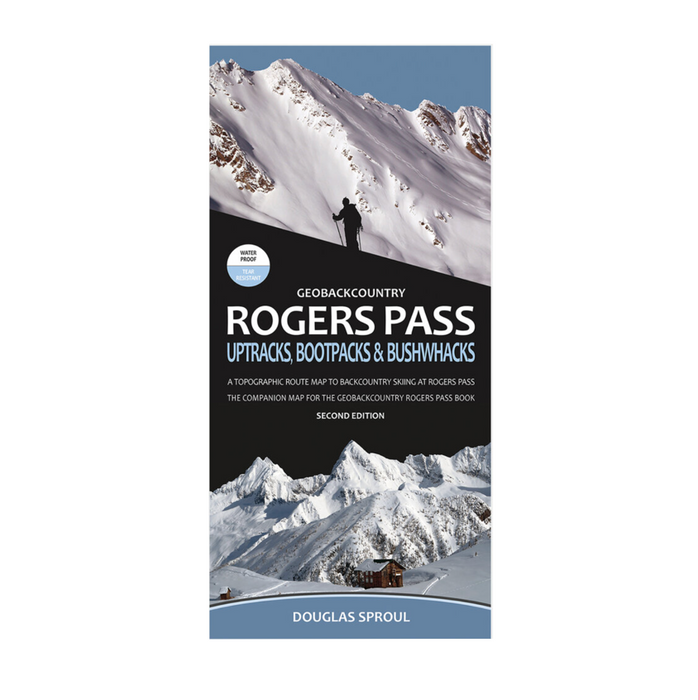
Rogers Pass Map - Uptracks, Bootpacks & Bushwacks
2nd Edition
Crafted with the highest-quality materials by one of North America’s top printers.
The companion map to the GeoBackcountry Rogers Pass: Uptracks, Bootpacks & Bushwhacks books, this is the 2nd Edition GeoBackcountry Rogers Pass: Uptracks, Bootpacks & Bushwhacks Map for backcountry skiing at Rogers Pass, BC. This map is 38” x 27” and folds to 4.25” x 9”. The map is at a 1:42,500 scale and has 273 routes. All routes and info cross-reference with the books.
-
Deloped in Revelstoke, BC
-
Printed in Canada
-
2nd Edition
-
Waterproof
-
Tear resistant
-
Dimensions: 38” x 27” (folds to 4.25” x 9”)
-
Scale: 1:42,500
-
Contour interval: 20-metre
-
Release date: December, 2020
-
ISBN: 978-0-9937695-5-9
-
Regionality: British Columbia
-
Language: English
-
Ideal for: Backcountry skiing | Ski mountaineering
Featuring
-
Marked approach, ascent and descent routes
-
Tons of annotated info
-
Relief shading (hill-shading)
-
Vetted by Parks Canada
-
New Parks Canada Winter Permit System (2020)
-
273 routes
-
New terrain
-
Double-sided, full colour
-
High-resolution illustrated and annotated terrain images
-
Rogers Pass highway avalanche control program
-
Parks Canada regulations
-
Parks Canada Designated Access Routes
-
Summer trails and best winter access routes
-
GPS ready - UTM grid and lat/lon
-
Quick reference for location info to parking areas, backcountry huts, Parks Canada Designated Access Routes and Parks Canada trails
Returns and Exchanges
For a full refund, items must be returned within 15 days of purchase.
Sale items are not eligible for returns.
No extended discounts on previous purchases. Gift cards are non-refundable.
For more information on returns and exchanges, click here.


