Order over $100 and get Free shipping in Canada
Free shipping Across Canada On Orders Over $100
Order over $100 and get Free shipping in Canada
Free shipping Across Canada On Orders Over $100
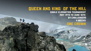
The Canadian Rockies offer some of the best trail running you could ever think of. With a great variety of distances, views for days and flowy trails, there is something for every trail runner out there. Looking for a longer adventure? Here are five classics that you have to add to your bucket list!

Iceline Trail - Yoho National Park
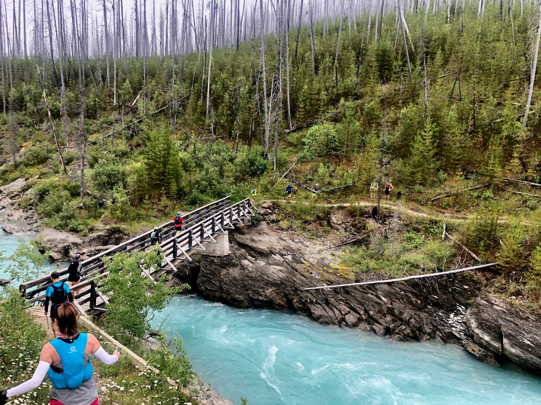
With a distance of 21 km and a healthy dose of alpine terrain, the Iceline is the best trail if you want to be rewarded with fabulous views without having to run for hours and hours to get there. Another advantage of the Iceline is that it is a relatively fast run. After gaining 600 meters over the first hour or so of hiking, the trail becomes very flowy and “runnable”. Runners are quickly rewarded with some long and fast descents back down Little Yoho Valley followed by long sections of flat terrain. While it is still a long run, it is on the the easy side of things for elevation gain and difficulty.


The Rockwall - Kootenay National Park
If you are on the hunt for a long day spent on one of the most stunning trail systems in North America, the Rockwall is for you. A 55 kilometre day spiced with 2600 meters of elevation gain will sure make your legs ache. What is so special with the Rockwall is the amount of alpine terrain it covers. This leads to spectacular views that last for hours and hours!

Northover Ridge - Kananaskis Country
For a more “technical” adventure and some exciting terrain, you’ll want to give Northover Ridge a go! Don’t worry though, views up there are still a solid 10/10, but the less traveled trails and a short section of exposed ridge are there to add some spice to your day. Up there, runners will be rewarded with great views of Mt. Joffre and other high peaks in the area.


Skyline Trail - Jasper National Park
"With almost 25 km of this trail hiked above treeline, the Skyline is Jasper’s highest and possibly most scenic trail. The high elevation allows for amazing views that extend over much of the park, encompassing vast meadows, windswept ridges and the chance to spot wildlife in the distance. Crossing three mountain passes, the Skyline trail offers a variety of flora, fauna and scenery unique to Jasper National Park."

Sunshine Village to Mt. Shark via Mt. Assiniboine
Is there anything else to say about this one? This beautiful alpine highline takes you through some stunning terrain before dropping down to Assiniboine lodge. The way out is also a beauty. Reward yourself with iconic views of Mt. Assiniboine at the halfway point, and put this trail on your "To-Do" list!

{"one"=>"Select 2 or 3 items to compare", "other"=>"{{ count }} of 3 items selected"}